This three-day backpacking trip starts in Tuolumne Meadows and ends in Yosemite Valley, visiting Cloud’s Rest and Half Dome along the way!
We will spend the first night near the impressive Sunrise Lakes. The next day we cross over Cloud’s Rest, looking out and down upon Half Dome and the Valley. From here we head down and camp directly below Half Dome, setting us up to climb early the next day with the hopes of being in front of those coming up from the Valley. This gives us some quiet time on the summit to soak up the view and scenery. After our morning on the summit, we head down for the Valley, where we catch a shuttle back to Tuolumne Meadows.
Prerequisites
Prior day hiking experience and a good level of physical condition is required. Prior backpacking experience is very helpful, but not required. A good head for heights is necessary for the final climb.
Inclusions
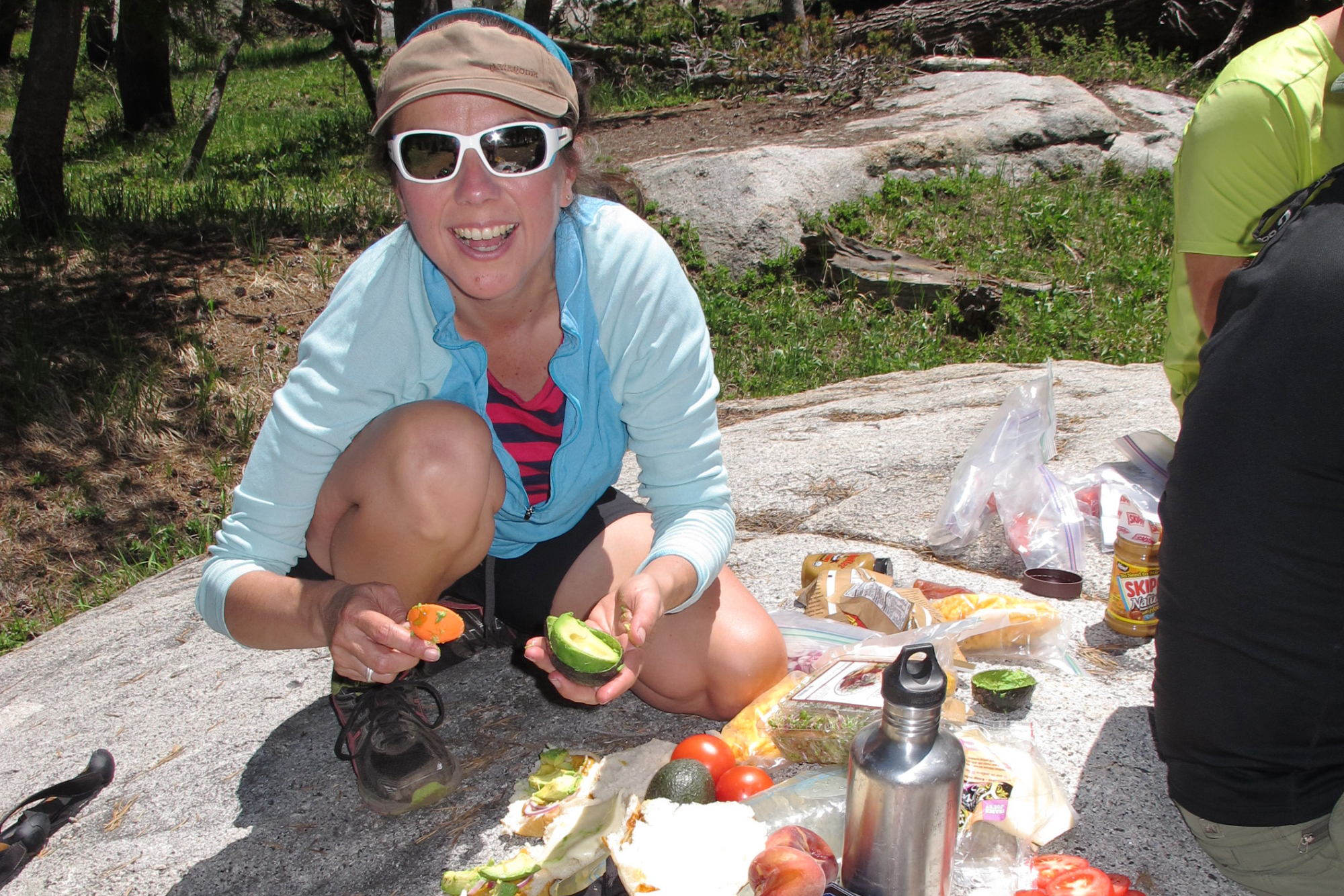
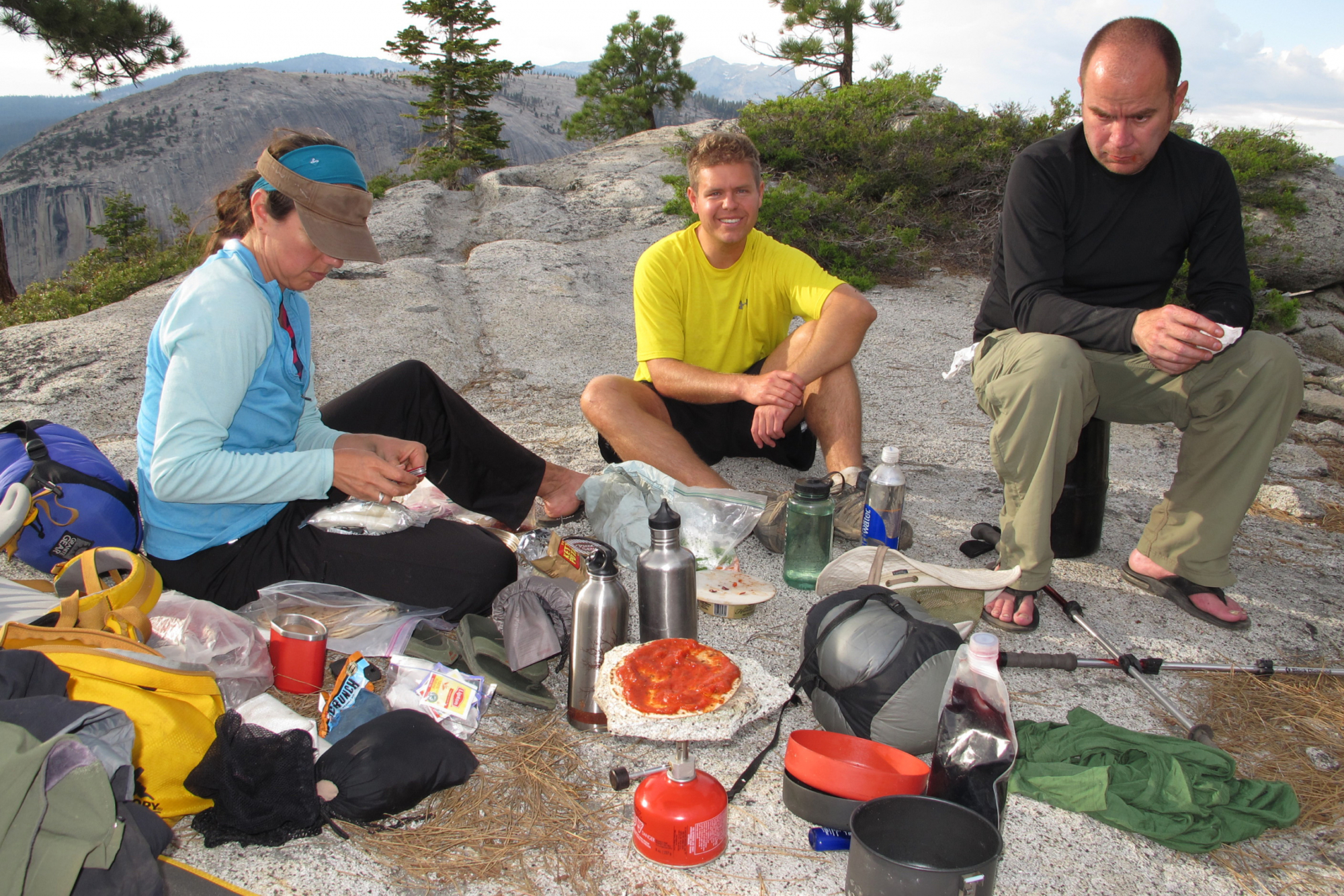
Price includes guiding, shuttle, permits, group climbing gear, tents, kitchen gear, breakfasts, lunches and dinners (you bring hot/cold drinks and snack items).
Day 1
We meet at Sunrise Lakes Trailhead near Tenaya Lake, one of the jewels of the High Sierra. From here it is a leisurely walk to the first night’s camp around the Sunrise Lakes area. We want to take this day slowly so that you can gain some acclimatization to the elevation and give the body time to adapt.
This is an elevation gain of about 1300 feet over 3.5 miles and our camp is at about 9200 feet.
Day 2
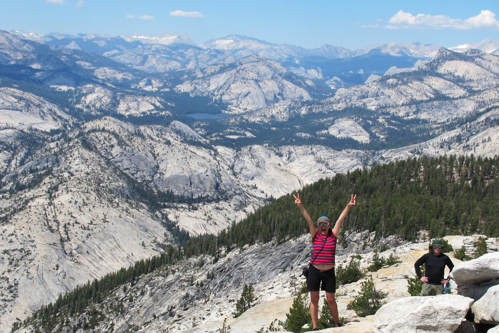
We head for the expansive views of Cloud’s Rest! The ascent is gradual and before long we are crossing the narrow spine of this huge expanse of slabs and sweeps of gray granite. The top is an ideal place for a first class lunch on the finest granite tabletop anywhere.
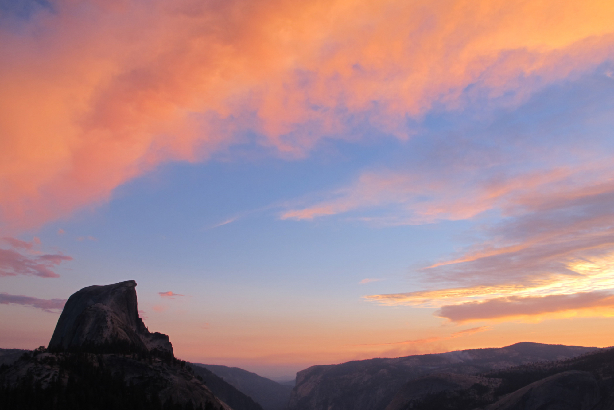
From here it is downhill, and a little cross country, to our camp below the shoulder of Half Dome. From our sandy campsite here we can look down into Yosemite Valley far below and across to the little known dome of Mt Watkins, Half Dome’s smaller sister.
Today we have an elevation gain of about 1000 feet, with 2400 feet of descent over 5.5 miles. Our camp is at about 7475 feet.
Day 3
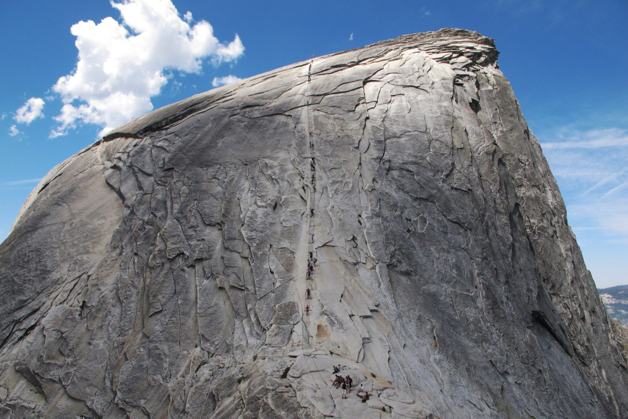
We rise early, grab a quick breakfast, and head out with light packs for Half Dome. The trail over the shoulder is steep and steady but not too bad. As we top out on the shoulder as light creeps across the sky, the final section up the cables looks very intimidating. But the front of view of any peak is always exaggerated and as we get closer it starts to look a lot more reasonable.
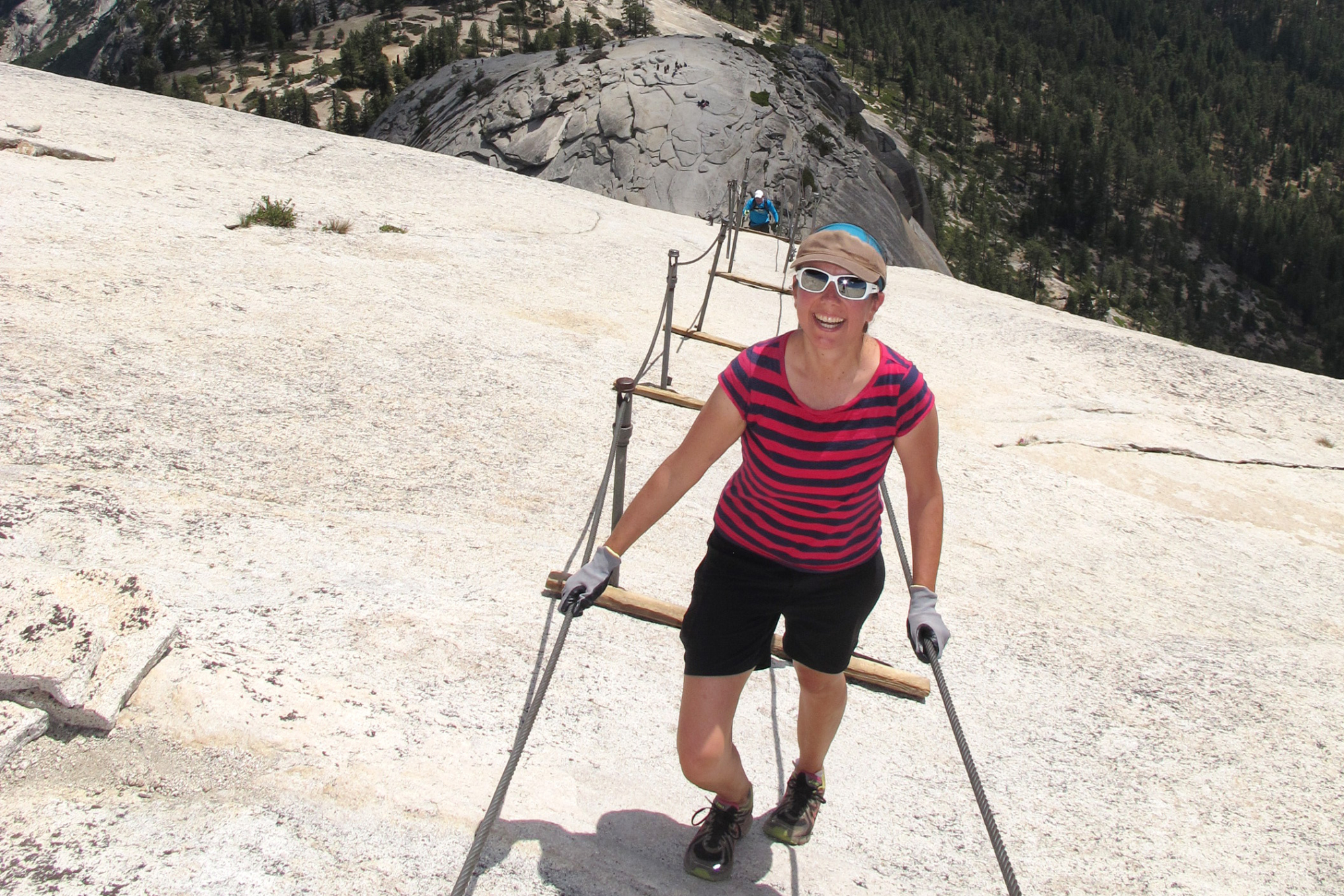
As we start the climb, we see that the cables are supported with iron stanchions and wooden slats at irregular intervals, which provide nice places to take a break.
The cable section is not actually that long and after a while the angle slowly decreases and the walking becomes easier until we are on top.
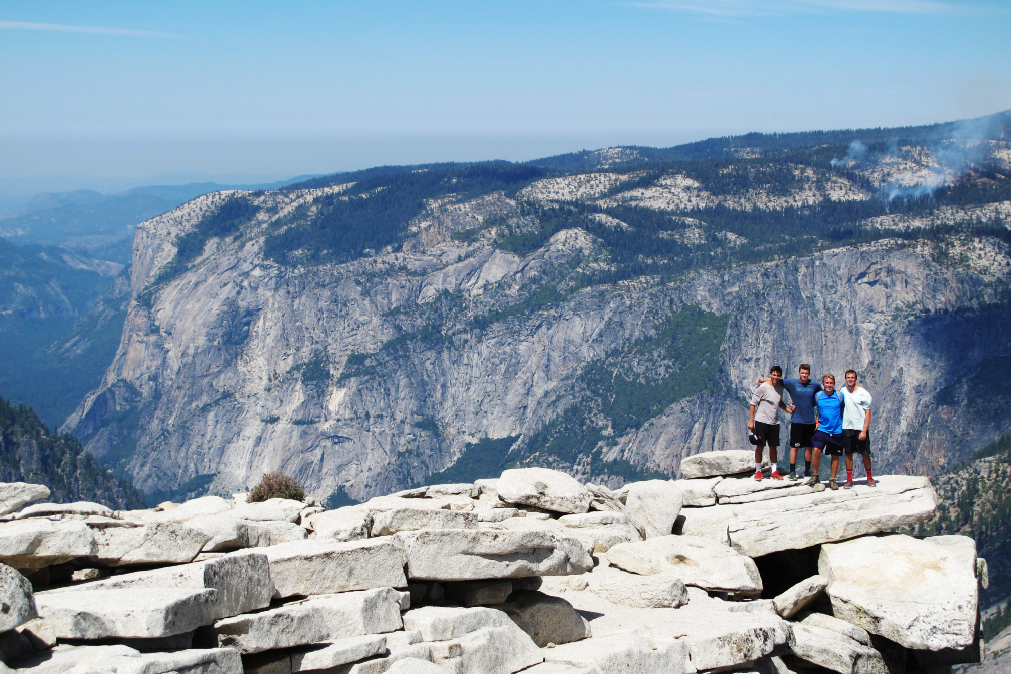
We will take a break, enjoy the views, and identify the landmarks close and far before heading back to camp for a late breakfast/early lunch.
We get back on the main Half Dome trail and head down the remaining 6 miles of trail through Little Yosemite Valley and then down the wonderful and well named Mist Trail. Here we pass Nevada falls and then hope to be soaked and refreshed by the spray of Vernal falls.
We reach the bottom of Yosemite Valley at Happy Isles and catch the shuttle bus back to Yosemite Valley Visitor Center. Here we can enjoy some time below Yosemite Falls before we hop on the 5pm YARTS bus to head to our vehicles at Sunrise Lakes.
To the summit and back to camp is about 1400 feet of gain and 1400 feet of descending over a total of about 2.6 miles. Once we leave camp, we descend about 4000 feet with about 650 feet of ascending over 6.5 miles until we reach the trail’s end in the Valley. This is a long day but by that time the packs will be light and you will be fit and acclimatized.
Total trip mileage 18.1
★ Please Read before you go ★
We feel the following information is essential... (links open as PDF in new window)
-
Equipment List
- Fitness, Training and Acclimatization Tips
- Leave No Trace
PDF Maps:
Half Dome map
Rental Equipment:
Need to rent equipment for your trip? We can help.



Get Social